Mobile mapping: New software and hardware for survey vehicles
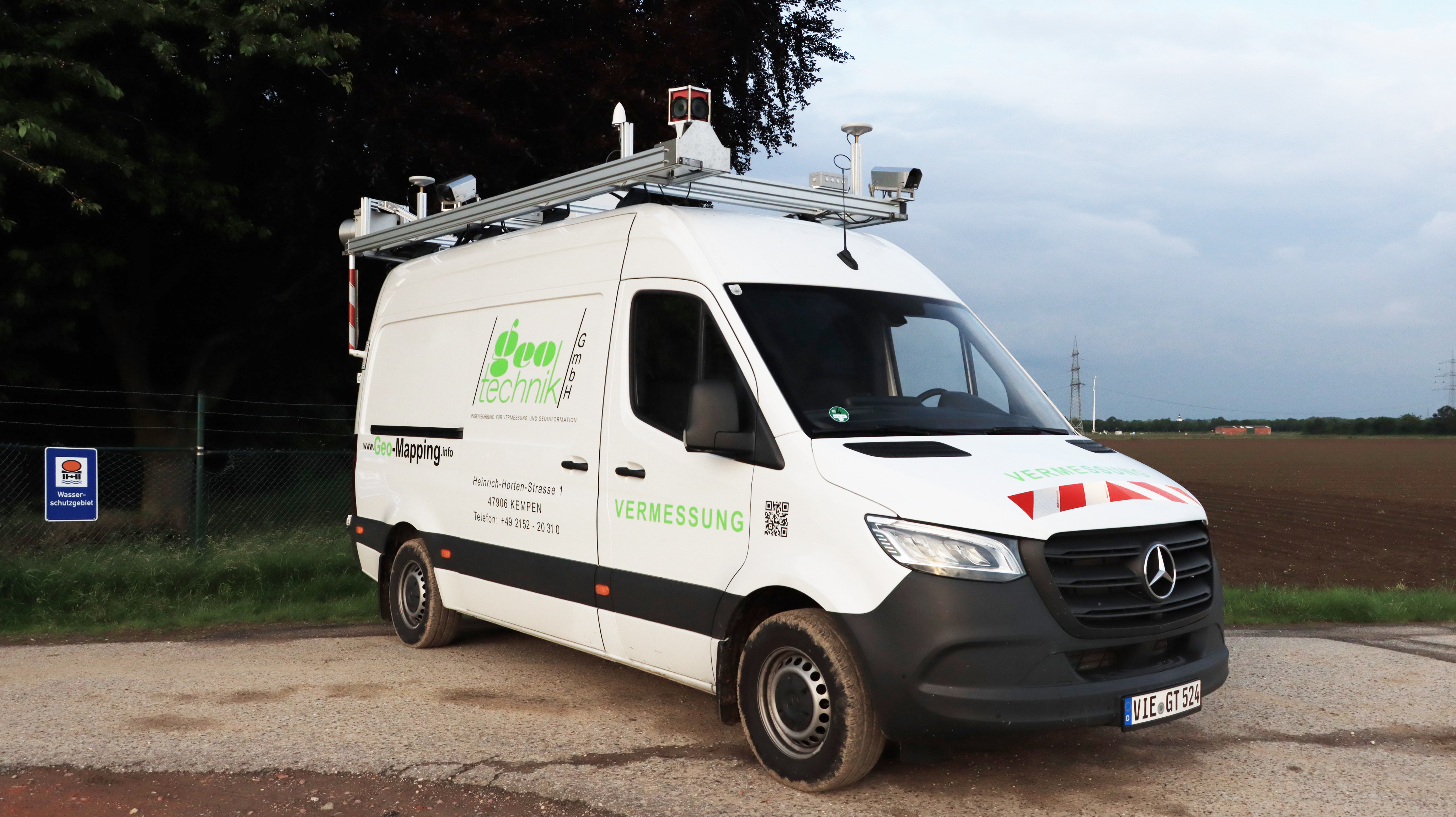
Geotechnik GmbH, a surveying service provider based in Kempen, Germany, has recently started using a mobile mapping vehicle with a completely revised software. The vehicle, which is equipped with a laser scanner and high-resolution cameras, was developed at the Fraunhofer Institute for Physical Measurement Techniques IPM and delivers 3D planning data for municipal infrastructure planning.


For over five years, Geotechnik GmbH has been using special survey vehicles from Fraunhofer IPM to survey roads and road environments. The Mobile Urban Mapping System MUM takes measurements at a driving speed of up to 80 km/h and supplies consistent, textured and georeferenced point clouds that even show narrow objects such as poles, street signs or surface texture. The data is used, for example, by Deutsche Telekom to plan the deployment of fiber optic cables. The modular survey vehicle is equipped with an eye-safe laser scanner, four high-resolution cameras and two panoramic cameras for capturing the environment. Two GNSS antennas, an inertial measurement unit and an odometry system help georeference the data based on position and height, allowing images and laserscan point clouds to be used simultaneously.
Using NICs to process data saves entire CPU
For the new version of the vehicle, the developers focused on updating the onboard software and optimizing the interaction between hardware and software. The vehicle is equipped with novel cameras that are read out by special network interface controllers (NICs). The data is processed by these controllers rather than a separate computer, as was previously the case. This not only saves a lot of weight and power, but also reduces the complexity of the overall system, resulting in a more efficient and reliable data capture.
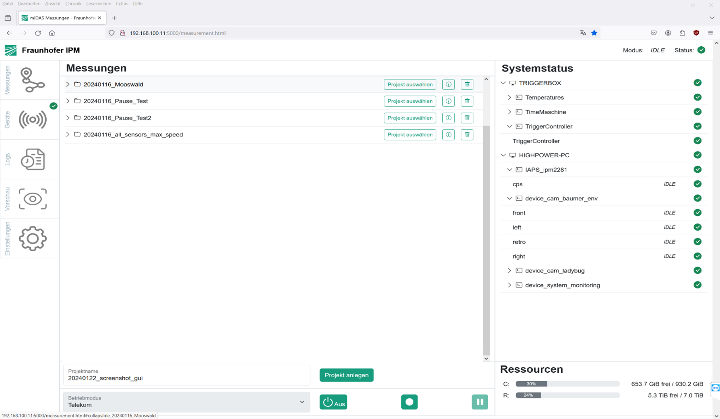
The system has also been made more user-friendly: The engineers in the survey vehicle continuously receive feedback on the data collection process. A new LTE module provides improved remote connectivity for remote maintenance and failure analysis by developers. “The new addition to our vehicle fleet represents a huge step forward in terms of data capture stability, data security and speed of further processing,” says Norbert Kuck, Managing Director of Geotechnik.